Thinking about Houston but not sure if city life or the suburbs fit you best? You are not alone. Most buyers weigh commute time, home size, and weekend lifestyle before they ever pick a neighborhood to tour. In this guide, you will learn the real trade-offs across Houston’s core neighborhoods and popular suburbs so you can narrow your search with confidence. Let’s dive in.
Urban vs. suburban at a glance
If you want walkable pockets, short trips to major job centers, and dense dining and culture, central Houston neighborhoods like the Heights, Montrose, Midtown, and Upper Kirby fit that rhythm. Walk Score snapshots show meaningfully higher walkability in these areas than the city average, which can change how you run daily errands and plan nights out. You will likely trade lot size and pay more per square foot for that access. Review walkability for specific addresses using the city overview on Walk Score for Houston.
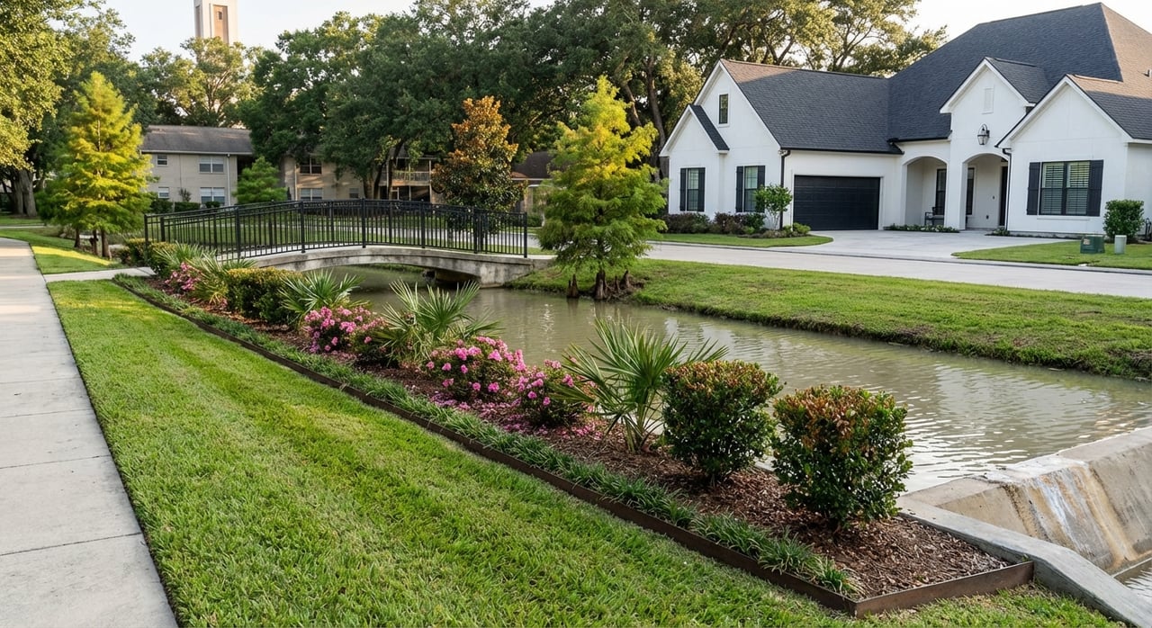
If you want more space, newer construction, and master-planned amenities, suburbs like Katy, The Woodlands, Sugar Land, Pearland, and Cypress tend to deliver. You will likely drive more, especially for work and weekend activities. Many families value the community programming, trails, and parks that come standard in large master-planned areas.
Commute and transportation
What to expect citywide
Houston’s average one-way commute sits around 27 to 28 minutes, according to U.S. Census QuickFacts. That average hides a lot of variation by corridor and time of day. Your door-to-door reality depends on where you live and your employer’s location. Always test your route at actual peak times when you can.
Core neighborhoods and shorter trips
When your job is downtown, in the Texas Medical Center, or in central office hubs, living in the Heights, Montrose, Midtown, or Upper Kirby can trim your daily drive. These neighborhoods also offer pockets where you can walk or bike to coffee, groceries, and restaurants. Parking can be tighter, and lots tend to be smaller, which is part of the trade-off for convenience.
Suburban commutes and Park & Ride
Most suburb-to-core commutes rely on highways. Peak-hour congestion on I‑10, I‑45, US‑59, and the Grand Parkway can lengthen travel time. Many commuters use METRO Park & Ride or vanpool programs when heading to central job centers. You can review routes and schedules on METRO’s Rider FAQs to see options from your target suburb.
Housing types and costs
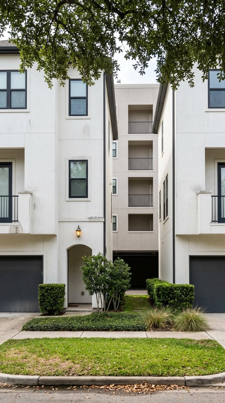
Inside the Loop: Character and convenience
Inner-loop neighborhoods often mix historic bungalows with newer townhomes and mid-rise condos. You will see active renovation and new construction on smaller lots, especially in the Heights and Montrose. If you value character and a short commute, this blend can be attractive, but you may accept less yard space for the location.
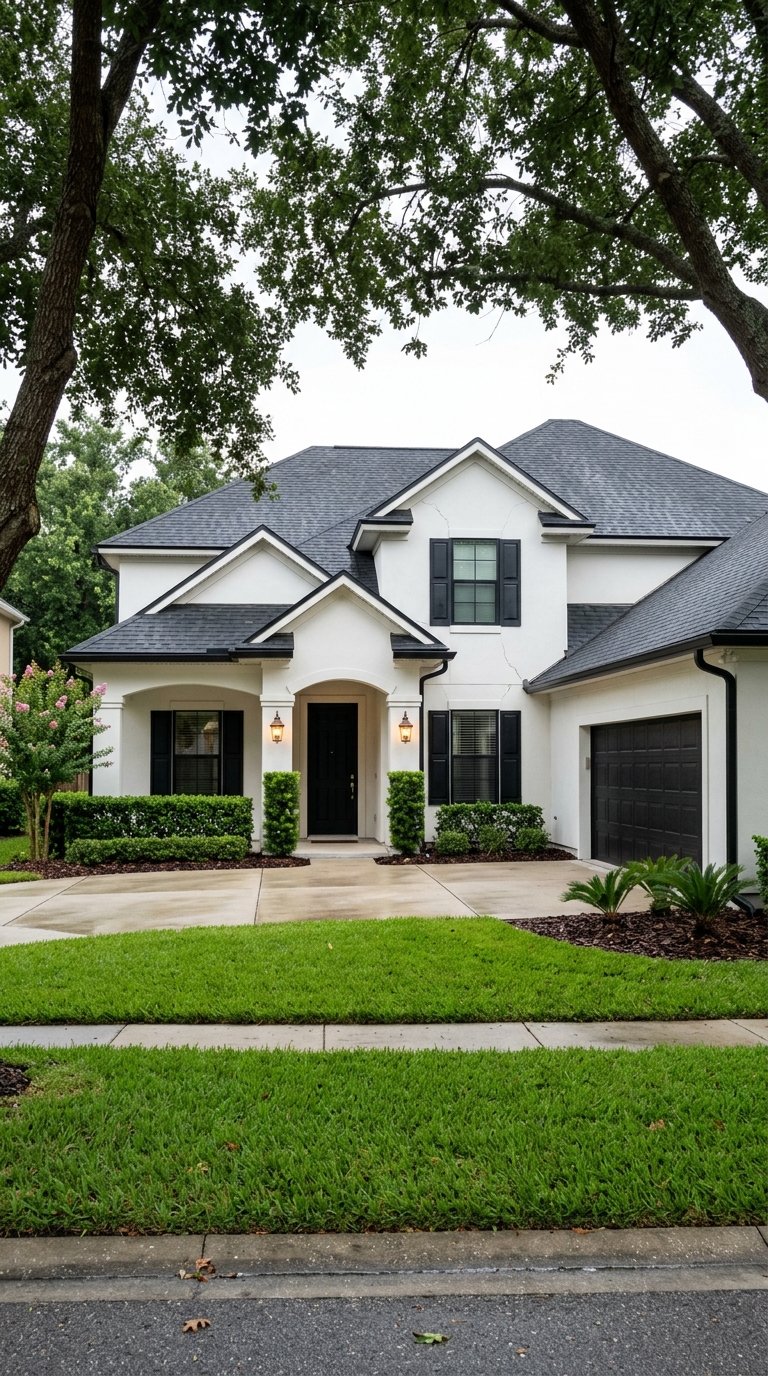
Suburbs: Space and amenities
Suburban areas commonly offer larger single-family homes, wider setbacks, and neighborhood amenities like pools, trails, and community centers. The Woodlands and parts of Sugar Land have village or town center districts that anchor shopping and events. Product ranges from entry-level to high-end across most suburbs, sometimes within the same ZIP code.
Price snapshot and how to compare
At the metro level, the Houston Association of REALTORS reports the region’s median single-family price in the low to mid $300Ks in recent snapshots. You can review the latest monthly update on HARConnect’s market reports. Prices vary widely by neighborhood and month, so verify current medians and inventory for your short list before you schedule tours.
Ongoing ownership costs to plan for
- Property taxes. Texas has no state income tax, so local property taxes are a key part of your monthly budget. Effective rates vary by city and district. The Tax Foundation’s Texas profile provides useful context when you compare areas.
- Flood insurance. Even homes outside FEMA Special Flood Hazard Areas can face drainage risk. Premiums and requirements vary by property, so build quotes into your comparison early. The National Academies summarize why flood insurance planning matters in coastal metros like Houston.
Amenities and daily life
Central city rhythms
Life inside or near the Loop favors frequent, short outings. Think coffee runs, neighborhood restaurants, live music, and festivals. You are close to the Museum District, downtown venues, and linear parks like Buffalo Bayou Park. Many residents plan weekend mornings around the trails, then head to galleries, markets, or brunch.
Suburban rhythms
Suburban days often revolve around school, work commutes, and community programming. Master-planned communities host events, swim teams, and seasonal festivals. Evenings might be quiet walks on community trails or a short drive to a town square or regional mall. The lifestyle is car-forward, with plenty of green space and room to stretch out.
Schools, safety, and local risk
Schools and how to research them
School districts are a common reason many buyers consider suburbs. Katy ISD, for example, is often cited among higher-performing large suburban districts in the region. Always look up current accountability outcomes directly on district and state pages. Start with the Katy ISD accountability page and use TEA resources for any district you are comparing.
Safety context varies by area
Crime is highly localized and changes block by block. City-level reporting shows Houston’s overall violent and property crime rates above some national averages, while many suburbs report lower violent-crime rates. To understand the context for a specific address, use local police dashboards or FBI tools and review recent trends. The Houston Chronicle’s reporting offers helpful metro-level perspective.
Flooding and climate exposure
Flooding is a core part of due diligence in any Houston-area move. Review FEMA flood zones, local street flooding history, and whether a home has an elevation certificate. The Harris County Flood Control District maintains resources on projects and flood history so you can factor risk and insurance into your budget.
Neighborhood snapshots
- Heights. Historic bungalows, modern townhomes, and a walkable main street feel along 19th Street. Strong coffee, dining, and local retail. Smaller lots and active renovation are part of the profile.
- Upper Kirby and Greenway. Mixed-use living near major job centers, mid-rise condos, and a compact, urban lifestyle with easy access to dining and shopping.
- Katy and Cinco Ranch. Master-planned communities with parks, pools, and active programming. Larger homes and yards, with many commuters heading to the I‑10 Energy Corridor or using Park & Ride.
- The Woodlands. Village-centered planning with trails, lakes, and a robust town center. Broad price range by village, with a mix of resale and newer homes.
- Sugar Land and First Colony. Southwest suburban living with established subdivisions and a well-developed town square district. Product ranges from established 1980s homes to newer sections.
- Pearland. South Houston option with diverse housing stock and quick access to major highways. Property tax rates and school zones vary across pockets, so model your carrying costs carefully.
How to choose your best fit
Map your top job centers. Put pins on your employer locations and test AM and PM peak commutes from two or three candidate neighborhoods. If Park & Ride is relevant, review METRO’s FAQs for route fit.
Fit the numbers to your lifestyle. Pair your price target with estimated property taxes, projected insurance, and any likely flood insurance premium. Use HAR’s market updates for current medians and inventory trends.
Stress-test daily life. Check walkability for your short list on Walk Score. Outline your typical week, from groceries and workouts to kids’ activities, and see which areas cut friction the most.
Quick relocation checklist
- Confirm commute times at real peaks for each origin-destination pair you are considering.
- Check walkability and transit options for target addresses using Walk Score and METRO resources.
- Pull the latest market medians and inventory on HARConnect.
- Model property taxes using appraisal-district estimates and the Tax Foundation’s Texas context.
- Verify FEMA flood zone, local flood history, and potential premiums. Start with the National Academies’ flood insurance overview and review HCFCD resources.
- If schools are a priority, review district and TEA reports. For example, see Katy ISD accountability as a model of what to look up.
- Review precinct or city crime dashboards, then compare multiple neighborhoods at the same time horizon. Use the Houston Chronicle’s metro context as a starting point.
Ready to tour with a plan?
Choosing between urban and suburban Houston comes down to the balance you want across commute, home features, and weekend life. A short, structured search will save you weeks and position you to act when the right home appears. If you want a data-informed, neighborhood-first approach, schedule a free consultation with Sharlene Abghary to map your lifestyle and budget to the best-fit communities.
FAQs
What are the biggest differences between central Houston and the suburbs?
- Central neighborhoods often offer higher walkability, shorter trips to major job centers, and dense dining and culture. Suburbs tend to deliver larger homes, master-planned amenities, and quieter evenings, with longer car-based commutes.
How long is the typical Houston commute for residents?
- The average one-way commute in Houston is about 27 to 28 minutes, but actual times vary by corridor and time of day. Always test your route at peak times using your real origin and destination, and check options like Park & Ride.
Are property taxes higher in Houston’s suburbs than in the city?
- Effective tax rates vary by city and district. Some suburbs have higher effective rates than others. Model taxes by address and compare jurisdictions, using appraisal-district estimates and statewide context from the Tax Foundation.
How do I check flood risk for a specific Houston home?
- Review FEMA flood maps, ask for any elevation certificate, and learn the area’s flood history. Use Harris County Flood Control District resources and get a flood insurance quote early, even if the home is outside a mapped high-risk zone.
Where can I find reliable school information for Houston-area districts?
- Go directly to each district’s accountability pages and the Texas Education Agency’s reports. For example, Katy ISD publishes detailed accountability data that you can use as a model for your research across districts.